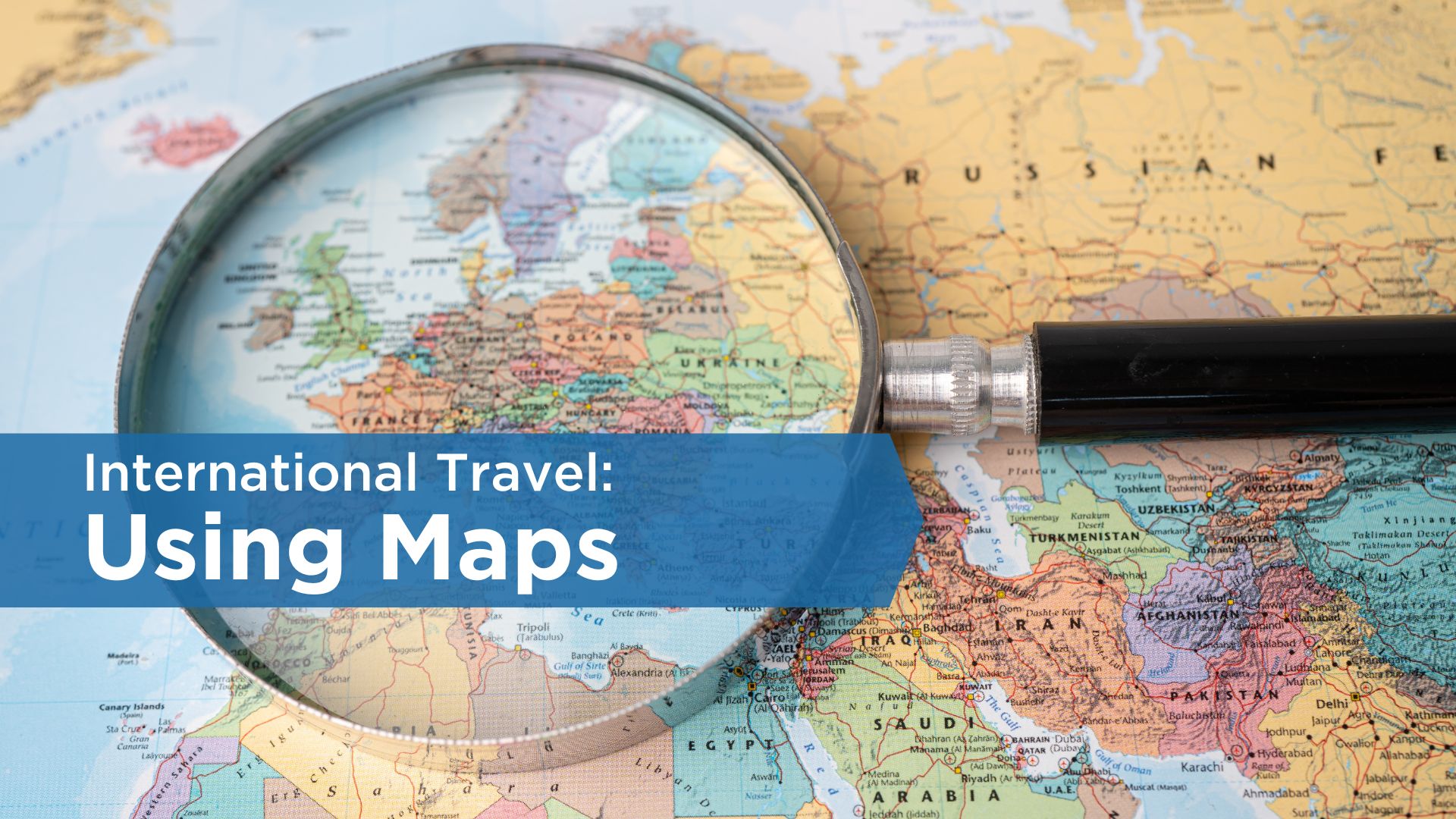
Maps can serve as a lens through which we view the world from different perspectives.
By analyzing and interpreting them, we can develop a deeper understanding of the places we visit or study. A world map, for instance, showcases the vast array of countries and cultures that exist across the globe. Such an exploration allows us to broaden our horizons.
Fostering Higher Order Thinking
Maps are not just informative documents; they are also catalysts for higher order thinking skills like analysis, synthesis, and evaluation. When we analyze a map, we critically assess the information it presents. We identify key features, such as the location of countries, cities, and bodies of water. We discern patterns that lead to insightful conclusions.
Moreover, map analysis involves synthesis—integrating information from various sources to create a comprehensive understanding of a region or issue. This skill helps us connect the dots and see the bigger picture.
The evaluation of map accuracy and reliability is crucial in our information-driven world. By being mindful of the potential biases or inaccuracies in maps, we learn to question and verify the sources of information, thus becoming more informed individuals.
Potential biases include:
- Mercator Projection and Distortion: The Mercator projection is commonly used for world maps due to its ability to maintain straight lines and angles. However, it significantly distorts the sizes of landmasses, particularly those near the poles. For example, Greenland appears much larger on a Mercator map than it actually is compared to Africa, when in reality, Africa is about 14 times larger than Greenland. This distortion can lead to misperceptions about the relative sizes of countries and continents.
- The Peters Projection: The Peters projection was created to address the size distortion issue of the Mercator projection and provide a more accurate representation of land area. However, it distorts shapes, particularly near the equator. For instance, countries like Greenland and Antarctica appear stretched horizontally in this projection.
- Bias in Naming and Centering: Maps often reflect historical and cultural biases in the way they name places and center the world. For example, a world map centered on Europe can give the impression that Europe is the center of the world. Similarly, some maps may use colonial-era names for places, which may not align with local perspectives or current political realities.
- Political Boundaries and Disputes: Maps can also reflect geopolitical biases, especially in regions with ongoing territorial disputes. The inclusion or exclusion of certain borders or areas can influence public opinion or perception of ownership.
- Map Scale and Representation: Large-scale maps provide detailed information about a small area, while small-scale maps show a larger area with less detail. Choosing the appropriate scale is essential for accurately representing the intended information, and using the wrong scale can lead to misunderstandings or misinterpretations.
- Generalization of Terrain: Representing three-dimensional terrain on a two-dimensional map always involves some level of generalization. Mountains, valleys, and other topographical features are simplified, and this can affect navigation, especially in rugged terrains.
- Population Density and Dot Density Maps: Dot density maps represent data points (e.g., population) with dots which can lead to inaccuracies. For example, densely populated areas might be visually overwhelmed with dots, while sparsely populated areas may appear less significant, even though they cover a large land area.
It’s essential for map users to be aware of these potential biases and inaccuracies and to consider the projection, scale, data sources, and mapmaker’s intentions when interpreting and using maps. Cartographers and mapmakers continually strive to create more accurate and unbiased representations of our world, but it’s crucial to be mindful of these inherent limitations.
Maps in Short-Term Study Abroad Programs
If you’re embarking on a short-term study abroad program, utilizing maps can significantly enhance your experience. Here are some tips to help you make the most of this valuable tool:
- Choose Maps of Interest: Start with maps that align with your interests. Whether it’s historical maps, cultural maps, or geographical maps, picking subjects you care about will motivate you to engage deeply.
- Gradual Progression: Begin with simple maps and gradually move towards more complex ones. This approach allows you to build your skills step-by-step and ensures a smooth learning curve.
- Identify Key Features: When examining a map, pay attention to crucial elements such as country borders, cities, landmarks, and geographical features. These details form the foundation of your understanding.
- Make Inferences: Challenge yourself to infer additional information from the map’s details. Consider how the geography might influence the region’s culture, economy, or history.
- Share and Discuss: Actively participate in discussions with fellow participants and faculty about your inferences. Sharing your thoughts and reasoning allows for a deeper exchange of perspectives and enriches the learning experience.
Maps are potent tools that empower us to comprehend the world and its diverse inhabitants better. Through maps, we can foster critical thinking skills that extend beyond geography and enrich various aspects of our lives. Maps can be your guide to becoming a more insightful and globally aware citizen.

